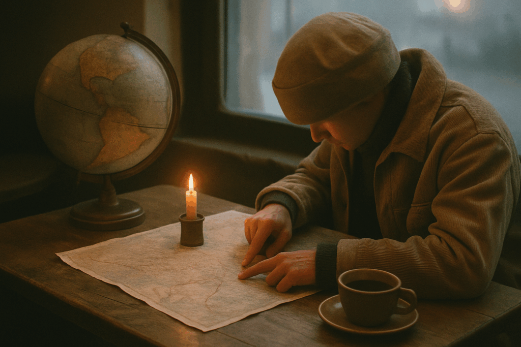
Why Learn to Navigate the Old School Way
GPS is great until it isn’t. One drained battery, one lost signal, and suddenly you’re guessing which ridge leads home. That’s where old school navigation earns its keep. Learning to navigate without digital tools forces you to pay attention: to terrain, to light, to your own internal compass. It’s a skill set that builds self reliance and sharpens your awareness in ways tech never will.
In 2026, analog navigation is more than a backup it’s essential survival know how, especially for anyone venturing off grid. Whether you’re backpacking through remote wilderness or just in a dead zone with no bars, being able to find your way without a screen gives you options. And beyond the practical, there’s a personal payoff: knowing you can rely on your own wits and observation brings a steady kind of confidence.
You don’t need to ditch the phone. Just be ready to do it when it counts.
Understanding Basic Direction Without Tools
If your GPS dies or you’re off grid, the sun and the land are your best guides. Start with the basics: the sun rises in the east and sets in the west. Use that to orient yourself. Around midday, the sun is generally due south in the northern hemisphere helpful for rough alignment.
Want a more accurate read? Try the shadow stick trick. Plant a stick upright in the ground and mark where the tip of its shadow falls. Wait 15 20 minutes, then mark the new shadow tip. Draw a line between the two points this is your east west line. From there, it’s easy to figure out north and south.
Nature provides clues too. Moss tends to grow thicker on the north side of trees in the northern hemisphere, where it’s shadier. Wind usually comes from the same general direction in a region learn what’s typical where you are. Animal trails often lead to water or shelter, which can orient you to key features.
No compass? Use a traditional analog watch. Point the hour hand at the sun. Halfway between the hour hand and the 12 on your watch face will roughly point south (in the northern hemisphere).
At night, find the Big Dipper. Trace the two outer stars of the bowl upward they point straight to Polaris, the North Star. It won’t move much through the night and will give you a reliable direction.
Learning how to read these signs takes practice, but in a pinch, they can keep you from wandering in circles.
Reading the Land (Even Without a Map)
First rule of land nav: the ground tells a story, if you know how to read it. Start with the big features ridges, valleys, rivers. Ridges usually give you a clearer line of sight, but they can also run long and sap your energy. Valleys hide water and shelter, but they can trap you or funnel you into tougher terrain. Learn to see these patterns, even in subtle hills or dry landscapes.
Water matters. Not just for drinking though you’d better know where your next source is but for orientation. Water always flows downhill. If you’re following a stream and you know which direction it’s heading, you’re halfway to understanding the terrain. Rivers and creeks are like nature’s arrows.
Distance estimation is part gut, part habit. Track your pace: how far can you move in 10 minutes over flat, uphill, or brushy terrain? Pair that with visual cues like how far a tree, cliff, or other landmark looks and you start building better internal estimates.
Don’t just look forward look back often. Burn key features into your memory: a twisted tree, a rock shaped like a boot, a sudden bend in the trail. These are your breadcrumbs. If you have to backtrack, those details might be the difference between lost and found.
Mastering the Compass (Before You Really Need It)
A compass doesn’t need batteries, bars, or Bluetooth. It just needs you to know how to use it. First rule: true north and magnetic north are not the same. Magnetic north shifts over time due to changes in the Earth’s core, which means your compass points slightly off from the actual North Pole. The difference between the two is called declination, and it varies by location. Always check a current map or local data to adjust for that.
From there, it’s about understanding azimuths. That’s fancy talk for degrees on the compass. North is 0°, east is 90°, south is 180°, west is 270°. If you want to walk in a straight line toward a specific target a lake, a peak, even your car you find the azimuth (the angle from your position to the destination), then keep your body aligned with the needle and go.
Plotting a route takes a bit of headwork. Pick your destination on a topographic map. Use your compass to measure the angle between where you are and where you want to be. That’s your azimuth. Walk that direction, checking regularly to stay on target. And if terrain forces a detour, record the shift (how far, what angle) so you can correct for it later.
Most importantly: trust the needle. It doesn’t care how you feel or what your gut says. In low visibility or rough land, instincts lie. The compass doesn’t. When in doubt, take a breath, reorient, and go with the gear.
Bonus Gear for Analog Navigation
When the tech dies and you’re miles from help, this is the gear that keeps you grounded.
First up: topographic maps. These aren’t just old school they’re essential. A topo map gives you a 3D sense of land on a 2D sheet. Learn how to read the contour lines; tight lines mean steep elevation, wide spacing means flatter ground. Trails, water sources, and elevation points are marked clearly if you know what you’re looking at. Always check the map’s scale so your distance estimates don’t end up wrecking your route plan.
Next: pacing beads, also called ranger beads. They’re dirt simple but surprisingly effective. As you walk, you count steps specific to your stride and terrain and slide a bead every 100 meters or so. Over time, you’ll know exactly how far you’ve gone without having to look at a screen or guess from muscle memory.
And don’t skip the humble notebook. Use it to record bearings, sketch rough maps, or jot down landmarks. It’s not just a log it’s a backup brain. When you’re tired, stressed, or a little turned around, a few field notes could mean the difference between circling back or getting stuck.
Old tools. Zero batteries. Maximum control.
Overlay: Safety in the Wild
Learning to navigate without GPS isn’t just impressive it’s smart. When batteries fail, signals vanish, or devices break, your brain and basic tools are all you’ve got. Navigation skills aren’t just about getting from point A to B; they’re about knowing how to stay calm, think straight, and find your way when things go sideways.
The basics matter: know your route before stepping out. Tell someone where you’re headed. Always carry a map, compass, and a backup plan. Most importantly, respect the terrain. It doesn’t care if you’re an experienced hiker or a beginner it’ll punish overconfidence and poor judgment just the same. Weather shifts. Paths disappear. Landmarks look different on the way back.
Learn the land. Learn your limits. The wild demands both.
For more life saving outdoor tips, read The Essential Outdoor Safety Skills Everyone Should Know.
 Tavien Quenthos is the kind of writer who genuinely cannot publish something without checking it twice. Maybe three times. They came to cali wilderness expeditions through years of hands-on work rather than theory, which means the things they writes about — Cali Wilderness Expeditions, Horizon Headlines, Hidden Gems, among other areas — are things they has actually tested, questioned, and revised opinions on more than once.
That shows in the work. Tavien's pieces tend to go a level deeper than most. Not in a way that becomes unreadable, but in a way that makes you realize you'd been missing something important. They has a habit of finding the detail that everybody else glosses over and making it the center of the story — which sounds simple, but takes a rare combination of curiosity and patience to pull off consistently. The writing never feels rushed. It feels like someone who sat with the subject long enough to actually understand it.
Outside of specific topics, what Tavien cares about most is whether the reader walks away with something useful. Not impressed. Not entertained. Useful. That's a harder bar to clear than it sounds, and they clears it more often than not — which is why readers tend to remember Tavien's articles long after they've forgotten the headline.
Tavien Quenthos is the kind of writer who genuinely cannot publish something without checking it twice. Maybe three times. They came to cali wilderness expeditions through years of hands-on work rather than theory, which means the things they writes about — Cali Wilderness Expeditions, Horizon Headlines, Hidden Gems, among other areas — are things they has actually tested, questioned, and revised opinions on more than once.
That shows in the work. Tavien's pieces tend to go a level deeper than most. Not in a way that becomes unreadable, but in a way that makes you realize you'd been missing something important. They has a habit of finding the detail that everybody else glosses over and making it the center of the story — which sounds simple, but takes a rare combination of curiosity and patience to pull off consistently. The writing never feels rushed. It feels like someone who sat with the subject long enough to actually understand it.
Outside of specific topics, what Tavien cares about most is whether the reader walks away with something useful. Not impressed. Not entertained. Useful. That's a harder bar to clear than it sounds, and they clears it more often than not — which is why readers tend to remember Tavien's articles long after they've forgotten the headline.